CNN’s planning a 2020 LGBTQ forum. Here are some issues advocates say the candidates should address. High on the list: Reversing the ban on transgender troops and addressing the plight of LGBTQ people of color Casey Quinlan
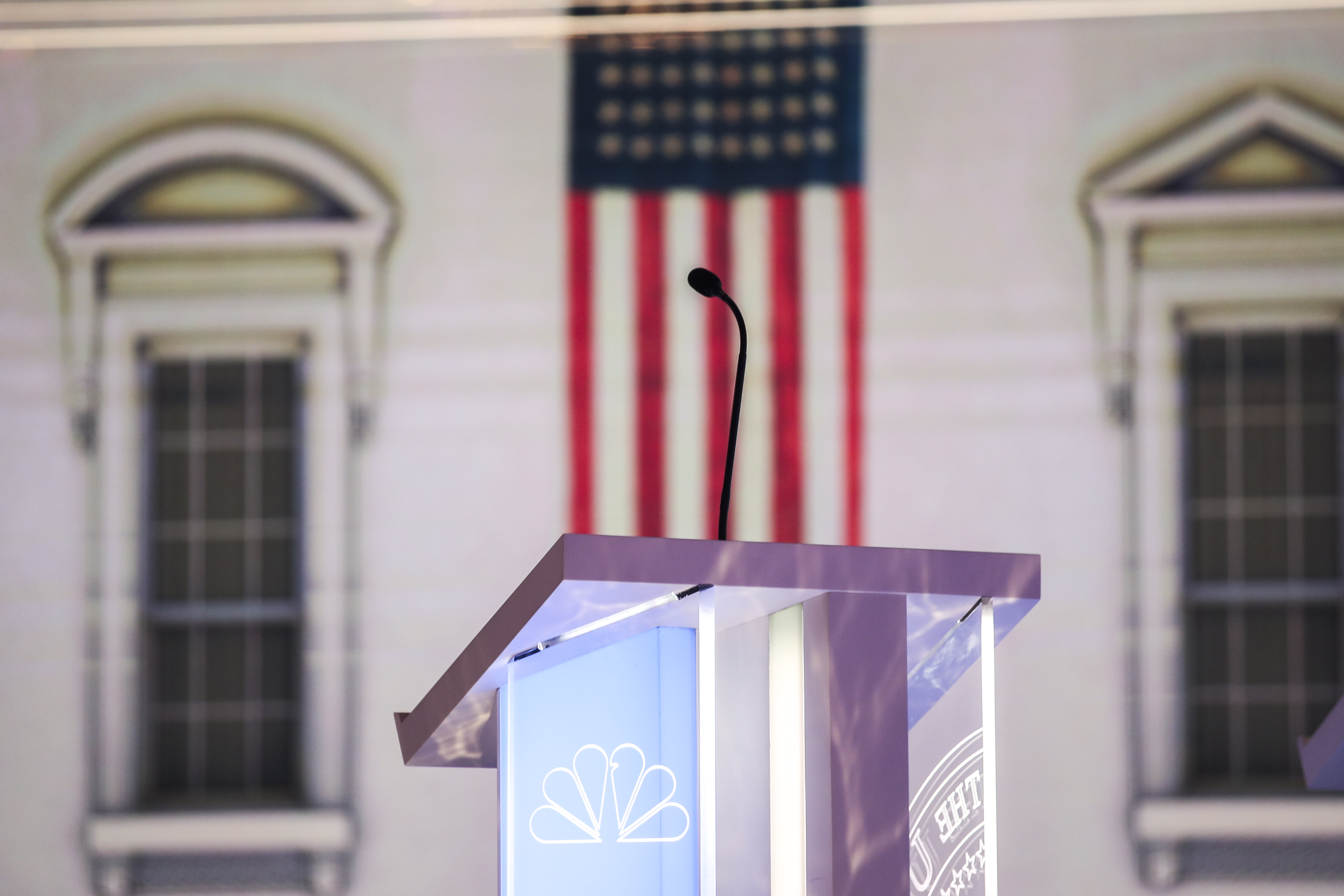
It wasn’t a debate, but CNN’s 7-hour climate forum laid bare key differences among Democrats E.A. Crunden
To build Trump’s border wall, Pentagon will divert funds from military schools and day cares Alan Pyke
Trump describes Boris Johnson as someone who ‘knows how to win’ after historic Parliament defeats Luke Barnes
Kristen Stewart’s experience is emblematic of LGBTQ people’s struggles in Hollywood Casey Quinlan Sep 4, 2019
Boris Johnson’s Brexit plans have been derailed, thanks to members of his own party Luke Barnes Sep 4, 2019
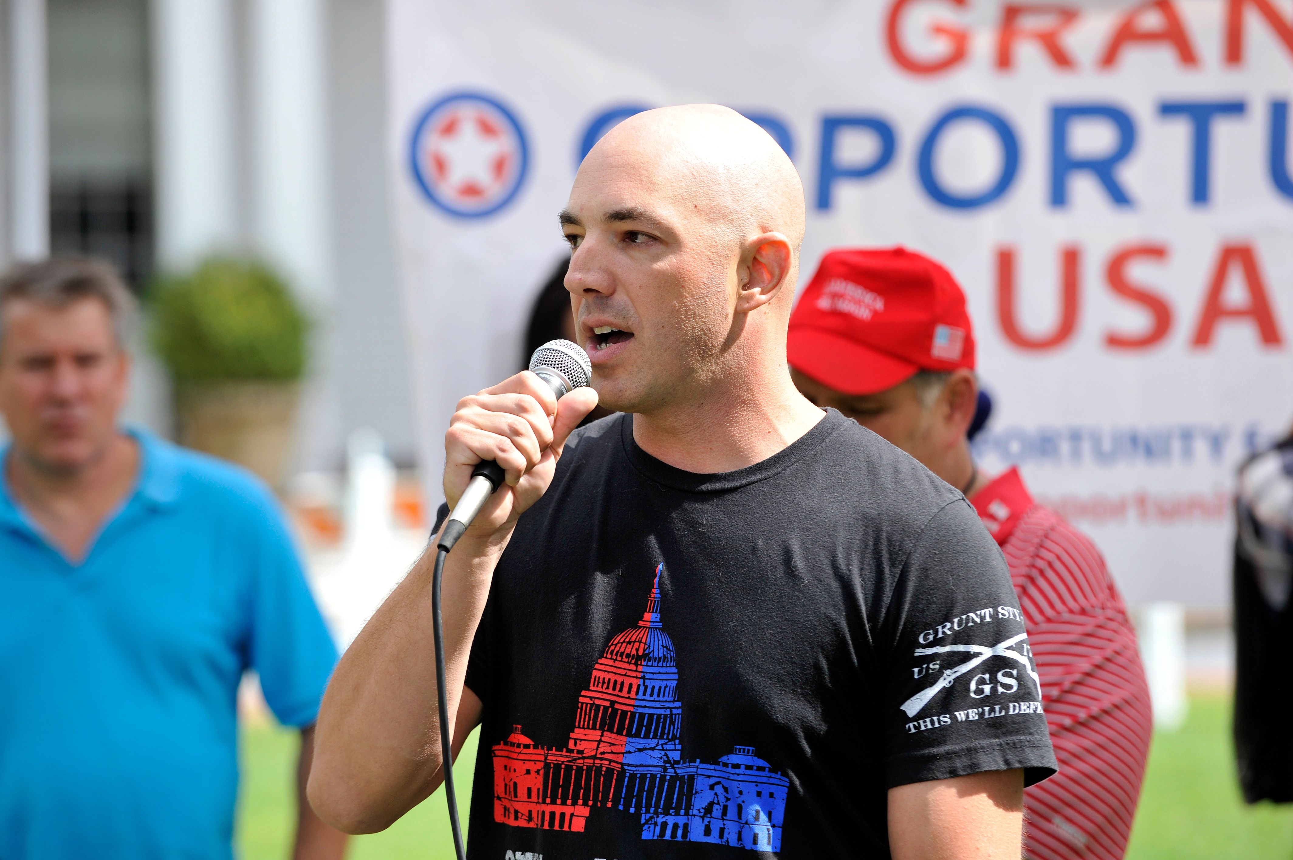
Dan Crenshaw is worried that universal background checks might keep him from arming his friends Josh Israel Sep 4, 2019
House Democrats turn their attention to Donald Trump’s involvement in hush-money payments Adam Peck Sep 3, 2019
Hurricane Dorian’s nightmarishly slow pace is linked to climate change Like Harvey and Florence before it, Dorian's biggest danger comes when it stalls over land. E.A. Crunden
Brazil rejects G7’s already minuscule aid package to help combat raging fires in the Amazon Luke Barnes
Tribe raises stakes in Dakota Access pipeline fight amid surge in Democratic 2020 support E.A. Crunden Aug 19, 2019
‘Only you know if we did it’: Scientists write dire letter to the future about climate change Joe Romm Aug 18, 2019
House Democrats will consider bill to block HUD rule allowing anti-trans shelter discrimination Casey Quinlan Sep 3, 2019
How ‘Straight Pride’ parades like the one in Boston mask a far-right agenda Casey Quinlan Aug 31, 2019
Mitch McConnell suggests Trump cannot be trusted to mean what he says on guns Josh Israel Sep 3, 2019
Native votes went missing in North Carolina. Tribal leaders vow that won’t happen again next week. Danielle McLean Sep 3, 2019
Exposed for 1967 blackface skit, Alabama governor issues written statement rather than face cameras Alan Pyke Aug 29, 2019
Did Gillibrand’s push for Al Franken’s resignation doom her 2020 White House run? Casey Quinlan Aug 29, 2019