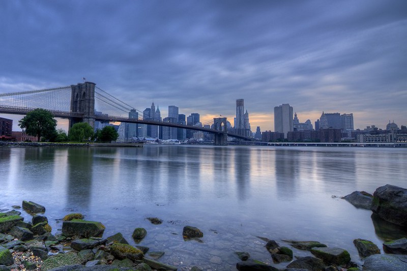
Thanks to sea level rise, New York City’s seawall could be overrun by storm surges every four to five years, says a new paper in Geophysical Research Letters.
The original estimate back in the mid-1800s was that breaches would only occur every 100 to 400 years. The paper also found that the more powerful “ten-year storms” — ones with a ten percent chance of hitting in a given year — have increased their flooding potential. With the added lift from sea level rise, their storm tides can now reach almost six-and-a-half feet, versus 5.6 feet in the mid-1800s. That’s admittedly a far cry from the record-setting 14.06-foot surge Hurricane Sandy brought to New York City, flooding Battery Park in the process. But Manhattan’s seawall is only 5.74 feet high.
“What we are finding is that the 10-year storm tide of your great-, great-grandparents is not the same as the 10-year storm tide of today,” said Stefan Talke, an assistant professor of civil and environmental engineering at Portland State University, and the study’s lead author.
Hundreds of pages of hourly and daily tide gauge data going back to 1844, much of it in handwritten written notes, is stored at the U.S. National Archives in College Park, Maryland. Talke and his fellow researchers went through the notes, entering the data into spreadsheets, then teased out the repeating cycles and the long-term trends. What they found was that, along with a sea level rise of 1.44 feet, an increase in power over time has added additional amounts to the surges storms can deliver.

The left hand graph singles out the effect on the five- and ten-year storms purely from the surge increase, or the “annual maximum storm tide” (AMST). The graph on the right adds in the effect of mean sea level (MSL) rise, and shows the threshold for the seawall. The shaded areas are the range of variation the researchers could attach 95 percent confidence to.
The report notes that, “the effect of sea level rise on coastal flooding is well-established, and helps to explain why eight of the largest 20 extreme water levels since 1927 have occurred since 1990.”
The authors went through several possible variables that could have driven the increase, most notably climate change. But they also pointed to changes in the North Atlantic Oscillation, an irregular atmospheric pressure system that sits over the North Atlantic Ocean, as well as more deeply dredged shipping channels around New York harbor.
Research released back in October by Dr. Jennifer Francis of Rutgers University’s Institute of Marine and Coastal Sciences suggests climate change played a role in Hurricane Sandy’s unusual strength, both by increasing the ocean surface temperatures that helped Sandy maintain tropical storm characteristics much further north, and by affecting the atmospheric pressure gradient that steered the storm westward.
New York City has allocated almost $300 million to increase its resiliency in the face of such storms, and the task force dedicated to guiding the reconstruction effort said in August that “decision makers at all levels must recognize that climate change and the resulting increase in risks from extreme weather have eliminated the option of simply building back to outdated standards and expecting better outcomes after the next extreme event.”
Another recent study by Climate Central found that anticipated sea level rise puts 84,000 people and $32 billion in property at risk. And globally, rising seas and the resulting flooding could reduce the world’s economic output by ten percent by 2010, according to work from the University of Southampton.