Flash flood warnings have been issued in Hidalgo County, southwest Texas.
At 10:15 a.m. on Thursday, the National Weather Service issued a warning for the area, urging people to seek higher ground immediately. The day before, widespread flooding was caused by torrential rain. More than 10 inches of water fell, entering homes and flooding streets in Weslaco — a town located between McAllen and Brownsville, two areas with known shelters housing migrant children forcibly separated from their families.
The relentless rains prompted Gov. Greg Abbott (R) at the end of Thursday to issue a disaster declaration for six counties, including Hidalgo and Cameron County — areas including shelters which AP reported have “tender age” facilities for detained immigrant kids under the age of 13.
Cities in these areas, like Hidalgo and Brownsville, are also where migrants enter the country after crossing the international bridges. But with torrential rains, many are camping out, weathering the storms, as they wait for border patrol agents to let them cross.
Texas is no stranger to heavy rainfall. Last year Hurricane Harvey saw unprecedented and devastating flooding, often in areas not designated as flood zones. So it’s important to understand the environmental risks posed to the facilities holding migrant children located near the coast and along the U.S.-Mexico border.
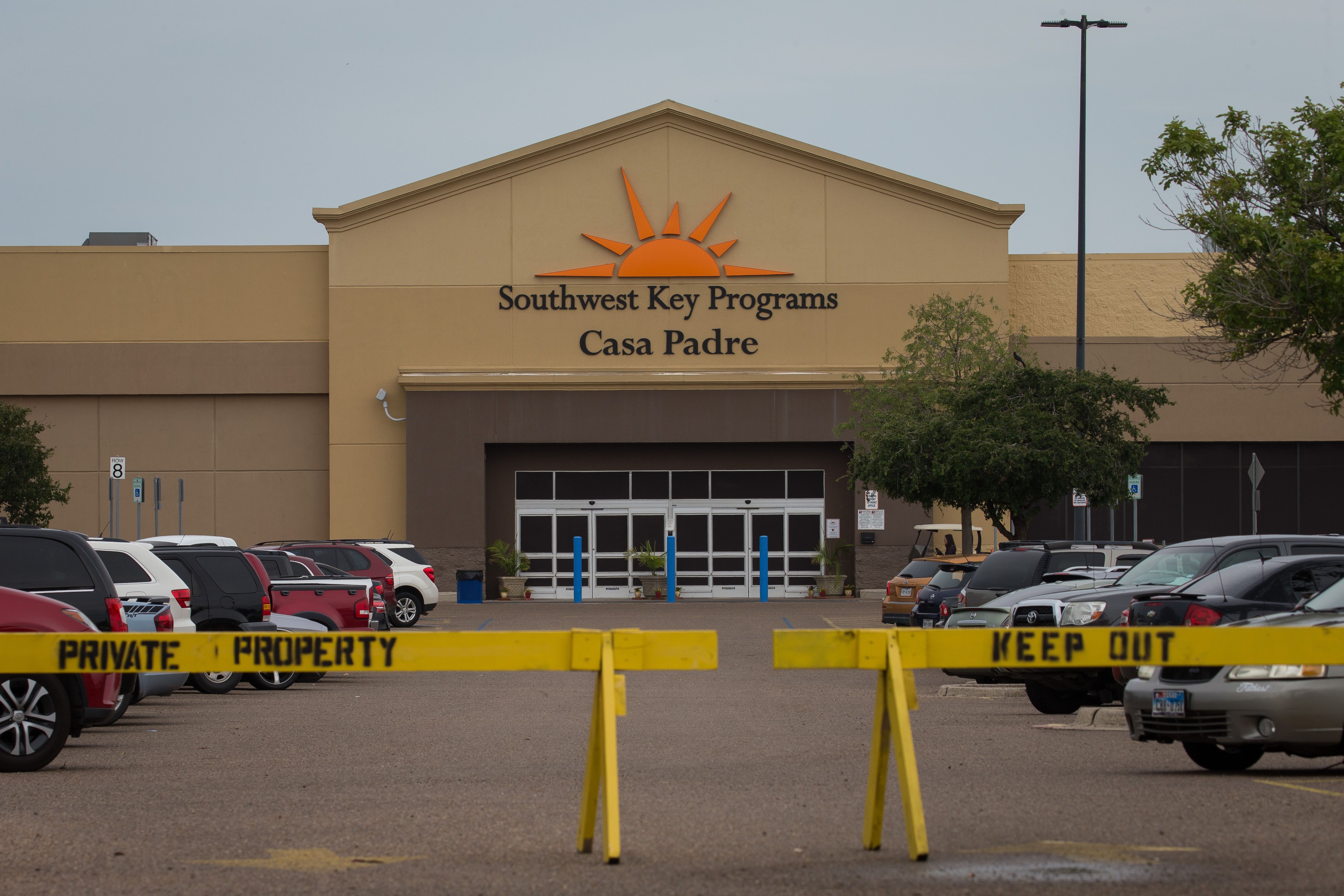
There are 32 state-licensed facilities in Texas. Many of the thousands of children who were taken from their families under the Trump administration’s “zero tolerance” policy have been housed in these shelters. According to an analysis by the Texas Tribune, there were nearly 4,000 unaccompanied children living in these shelters in mid-May (a more recent estimate could not be provided to the Texas Tribune by the Texas Health and Human Services Commission).
Many of these shelters, licensed as child care providers, have a history of serious health and safety issues. And several are located in areas prone to flooding.
It’s unclear how long children will remain in these facilities in light of President Trump’s executive order walking back his policy of separating children from their families issued Wednesday afternoon. It’s not known how long it will take before children are reunited with their families — with efforts to reconnect families appearing extremely difficult — and some news outlets have reported that the government may reconsider its policy reversal. The risk that families could be detained indefinitely — in locations that are not clearly identified — is also looming.
Despite the pervasive uncertainty, these Texas facilities are still housing children. With flash flood warnings and hurricane season upon us, ThinkProgress took a look at Texas shelters’ vulnerability to flooding.
The following maps, compiled by ThinkProgress, highlight the following: the concentration of shelters in each region plus two military bases under consideration; the impact of Hurricane Harvey in 2017; and finally, the current rain and flood risks present across the state Thursday afternoon.
The concentration of shelters and bases under consideration

The impact of Hurricane Harvey in 2017

Current rain and flood risks in Texas

Analyzing the locations of the licensed shelters against FEMA flood zones shows that two facilities in San Antonio and Galveston are at risk of a 1-in-100 year flood. And the site in Brownsville could see worse flooding, anywhere from the levels experienced during a “base flood” (the 100-year flood), and a 1-in-500 year flood.
Hurricane Harvey was a 1-in-500 year flood event. And with climate change, more extreme, wetter hurricanes are becoming more normal. Comparing the first two maps shows the overlap in areas hit by Harvey and where shelters are located.
Many shelters, while not sitting in a designated flood zone, are surrounded by FEMA flood zones. And as Hurricane Harvey showed, many people who experienced severe flooding had homes outside the 1-in-100 year flood zones, like many of the shelters.
The areas in southwest Texas that saw the flash flood warnings and disaster declaration this week were not at the center of Harvey’s impact. The warnings, however, are in an area where at least one shelter is at risk of a stronger flood event above the 1-in-100 baseline.
In fact, on Wednesday, one of the shelters — reported by the AP as a possible “tender age” shelter — located in Combes, was included in the National Weather Service’s severe thunderstorm warnings and flash flood warnings. Two other reported tender age shelters — in Raymondville and Brownsville — are located in the governor’s disaster declaration area.
The damage from flooding can be anywhere from structural — mold and mildew can destroy sheet rock in just days — to the spread of waterborne diseases or, in extreme cases, loss of life.
According to one account by Rep. Will Hurd (R) who recently toured a shelter in Tornillo, located near a border crossing 30 miles from El Paso, the facility is prepared to deal with an emergency. Preparations for floods are in place and emergency management professionals are also on site there Hurd said. And while some level of emergency preparation is likely in other shelters, it’s unclear what the situation is at other locations.
Some Border Patrol processing centers have also flooded due to recent storms in the southwest. The flooding on Thursday even prompted first lady Melania Trump to cancel a tour of one center during her visit to children’s shelters.